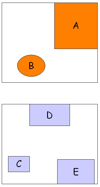
| When two tables R y S are joined based on a spatial
predicate θ, the join is called spatial join. A variant of this
operator in GIS is the map overlay. This operator combines two set of
spatial objects to create a new set. The boundaries of these new
objects are determined by the nonspatial attributes assigned by the
overlap operation. For example, if an operation assigns the same value
of a nonspatial attribute two adjacent objects, they will merge R Some spatial predicates are: intersection, northeast, distance, overlap, meets, adjacent, contains, and so on
|
Última modificación: Saturday, 19 de November de 2005, 09:02
